The first phase of the Lakeside Streets and Drainage Project begins in fall 2024. To plan engineering work and street construction, drilling for geotechnical borings on east Lakeside will start in late March.
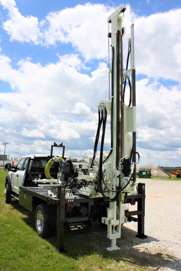
Geotechnical boring is a process that involves drilling into the soil and evaluating the soil, rock, groundwater and overall conditions at a given depth and location. We are determining how close rock is to the pavement surface and if it could impact the project design.
The project designer, Contractors Design Engineering (CDE), selected 32 locations for borings where they are concerned that rock might impact their design. Lakeside Project Manager Fred Seling said this is a necessary process to prevent conflicts that could delay the project during construction.
“There are consistent places on the north-south streets where there’s a hump in the road that causes water to drain from the north to the south,” Seling said. “If they’re going to cut that knob down, we need to know how close the rock is to help determine if the road can be lowered to improve drainage or if the rock would substantially increase the construction cost. We can also alert the contractor about the depth of rock ahead of time so they can base their proposed cost on that situation to avoid cost increases during construction.”
Wertz Geotechnical Engineering, Inc., will provide the service. They will field stake test locations and
utilities will be cleared by the Ohio Utilities Protection Service. Wertz will bore holes in the pavement, then restore them by backfilling with spoils and/or compacted stone to within 12-inches of the surface and then backfilled with asphalt cold patch to grade. The plan is to drill up to 5 feet unless they hit rock first. It will take up to three days to complete the work.
“We’ve done enough research to find some information,” Seling said. “We went back and found rock elevations that were previously obtained for the water project back in the 1990s, so we’re going to combine all the data together and try to be prudent about where we do these holes.”


